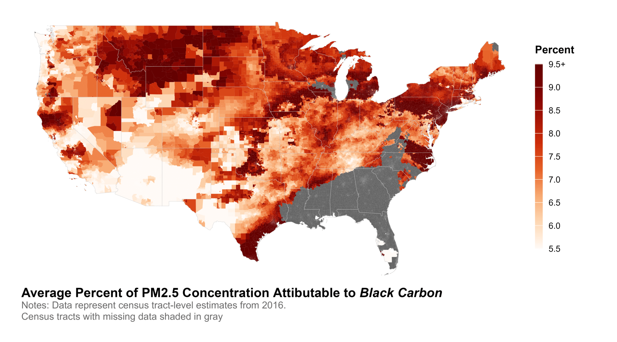
The CDR atmospheric composition data (ATMOS) includes annual air pollution estimates for the United States, including particulate matter 2.5 (PM2.5), sulfate (SO42-), nitrate (NO3–), ammonium (NH4+), organic matter (OM), black carbon (BC), mineral dust (DUST), and sea salt (SS). These estimates are derived from satellite-, model-, and ground-based data calculated by the Atmospheric Composition Analysis Group (ACAG). Estimates are available from approximately 2000 to 2023 at the census-tract level for the contiguous United States.

Data Summary
Dataset Name: ATMOS (V5.NA.05/V5.NA.05.02)
Data Source: Atmospheric Composition Analysis Group (ACAG), Washington University in St. Louis
Years: 2000-2023
Geographies: Census Tract
Suggested Citation:
- Ailshire, J.A., Nam, J.W., and Fisk, C.E.. 2023. Contextual Data Resource (CDR): Atmospheric Concentration Data, 2000-2023, Version 2025. Los Angeles, CA: USC/UCLA Center on Biodemography and Population Health.
- Van Donkelaar, A., R. V. Martin, B. Ford, C. Li, A. J. Pappin, S. Shen, and D. Zhang, North American Fine Particulate Matter Chemical Composition for 2000–2022 from Satellites, Models, and Monitors: The Changing Contribution of Wildfires., ACS ES&T Air, doi: 10.1021/acs.est.0c01764, 2024. https://doi.org/10.1021/acsestair.4c00151
Data Sources
Atmospheric Composition Analysis Group (ACAG), Washington University in St. Louis